Hi Anders, thanks for posting here.
Firstly, a good starting point for learning about the GIS integration is this process model (this is for IFS Cloud, but should be more or less the same as for Apps 10):
https://docs.ifs.com/ifsclouddocs/21r1/ProcessModels/Process_Model/GISMapObjectConnection.htm?StandAlone=true
From there you can both learn what the flow/process (the "fishes"), and how (activity/process diagrams with the green boxes and their descriptions). You can, and should, also read the three "about documents" that are linked at the top. The best one here I think is the GIS Concepts document that has a lot of details on how to set up various parts of the integration.
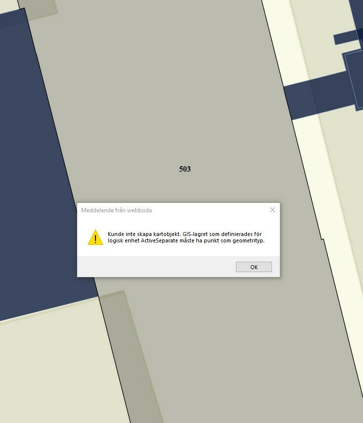
Now, from what you write I guess the problem could be that the GIS proxy has not been set up or set up correctly. The document I mentioned above explains how to do that in great detail (search for "GIS proxy").
Are the users running GIS Map on the same network as the ArcGIS servers? Do they have direct access to it? Are all layers public or private (requires authentication), or both? Unless all layers are public, the GIS proxy must be configured. And even if all layers were public, some configuration will be needed even for working with those.
The GIS proxy runs on the IFS application server, regardless if it is IFS Cloud or Apps 10 and requests from that server need to be able to reach the ArcGIS server.
If you use private layers that require authentication, you also have two options: either the users are asked to "log in" once the map opens, or the proxy log ins for them. Both scenarios are described in the documentation mentioned above. In the former scenario, some communication goes through the proxy, but most of the "map loading" will go between the client and the ArcGIS server.
Let me know if you have any more questions. And, if you can, provide as much details of your set up as you can.
Thanks!