In the FSM Smart Client, we can insert an address to the system using the “Address” window.

The mandatory fields are only the “Address” and “City”.
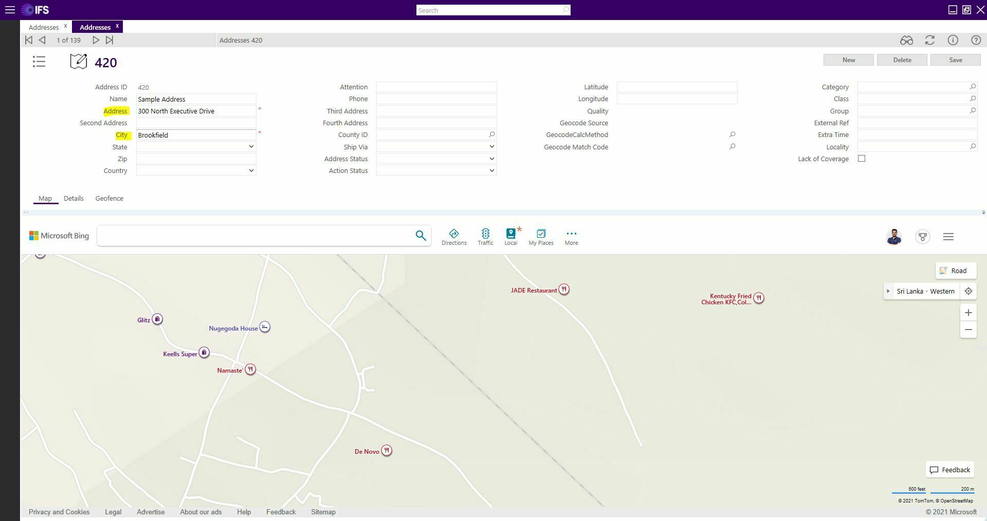
 

Once we provide those data and save, we could see that the FSM automatically, updates the Latitude and the Longitude. It locates the specific location in the map as well.
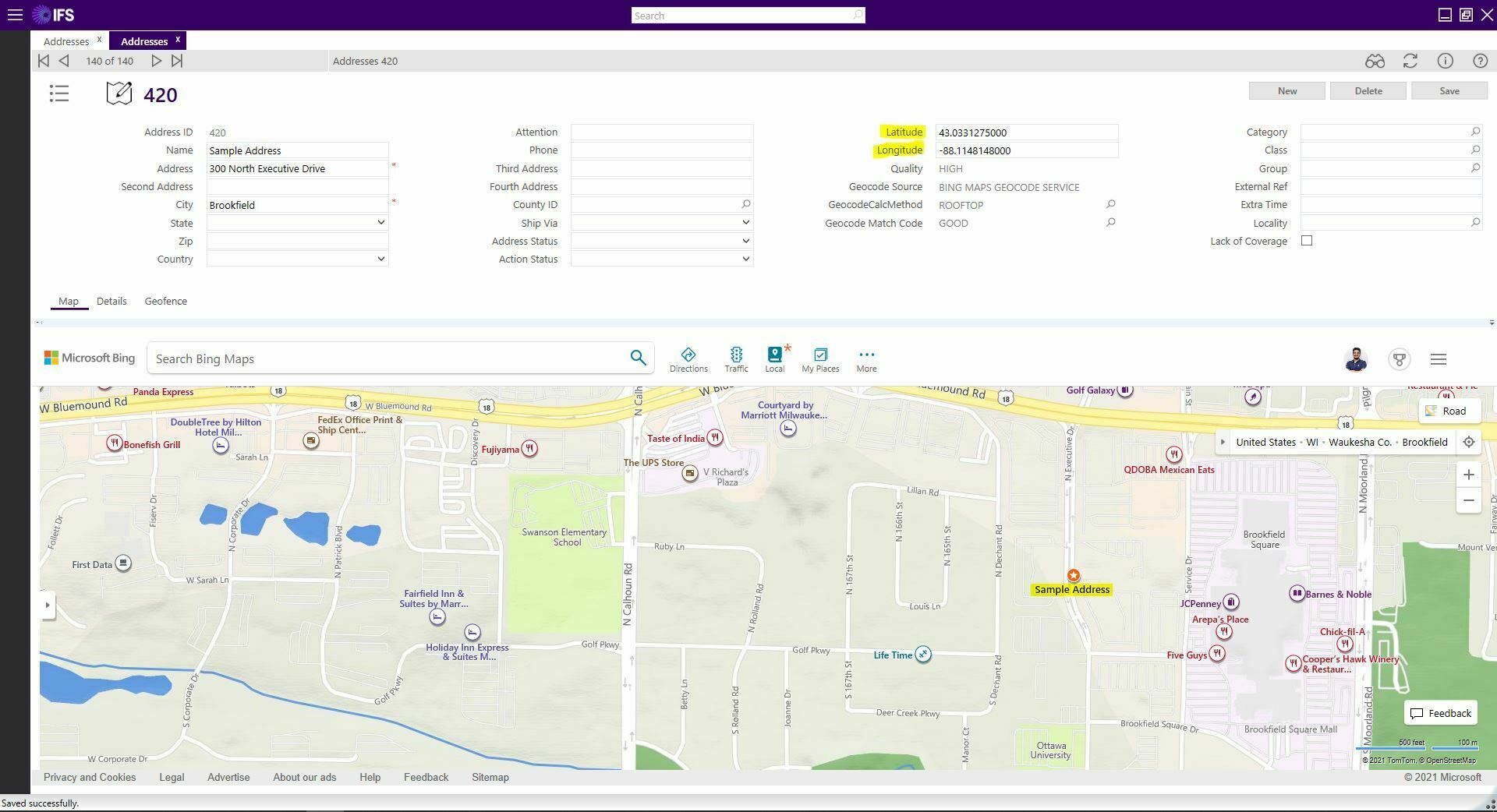
 

Could you please let me know how these data is being filled?


Further, I noticed that different customers/environments hold different data for the below 4 (auto filled) fields.


Would like to know how to do this configuration as well.


Thank you for any help you can offer.!

Hi @Ruchira Jayasinghe ,

The following thread explains regarding the logic behind the latitude and longitudes are fetched. 


Additionally the geocode source providers will be different when the customer uses different API providers. Following are some of the app parameters which will be used to configure the above requirement.

  • BING_MAP_PROVIDER_KEY
  • GOOGLE_ANDROID_MAP_API_KEY
  • GOOGLE_MAP_PROVIDER_KEY
  • USE_BING_ADDRESS

Hope this answer helps

Best Regards,
Atheeq


Can i create an addres clicking on the map? we have tasks in a limited acces place ( agricultural road or in the middle of a montain) so we don’t have a good “address name” for it.


Reply