Is it possible to change the map view in FSM webclient to a satellite view like the image below?
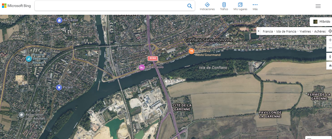
As i know open the FSM web client in your web browser. Look for a map icon or a button that allows you to switch between different map views. This icon/button is usually located on the map interface or in the top corner of the screen. Click on the map icon/button to open the map settings or map view options. In the map settings/options, you should see different options for map types, such as "Satellite," "Map," "Terrain," etc. Select the "Satellite" option to switch to satellite view. The map should now update and display the satellite view with aerial imagery. If there is no specific map icon/button, look for a "Layers" or "Map Layers" option. Click on it to reveal a list of available map layers, and choose the "Satellite" layer if it is provided.
Hi Maggyie,
There is no map configuration option to change in satellite mode. Do you know what it could be?
Kind regards,
Joao Antônio.
Enter your E-mail address. We'll send you an e-mail with instructions to reset your password.