Question

OpenSeaMap Seamarks in GIS Map

  • 13 April 2023
  • 1 reply
  • 84 views

Badge +4

Hi,

we like to use beside OpenStreetMap also OpenSeaMap Seamarks:

https://t1.openseamap.org/seamark/{z}/{x}/{y}.png


OpenStreetMap:

https://a.tile.openstreetmap.org/{z}/{x}/{y}.png

Does anyone know how to enrich the selector with this layer ?

Or how to configure these as basemaps?

Thanks!


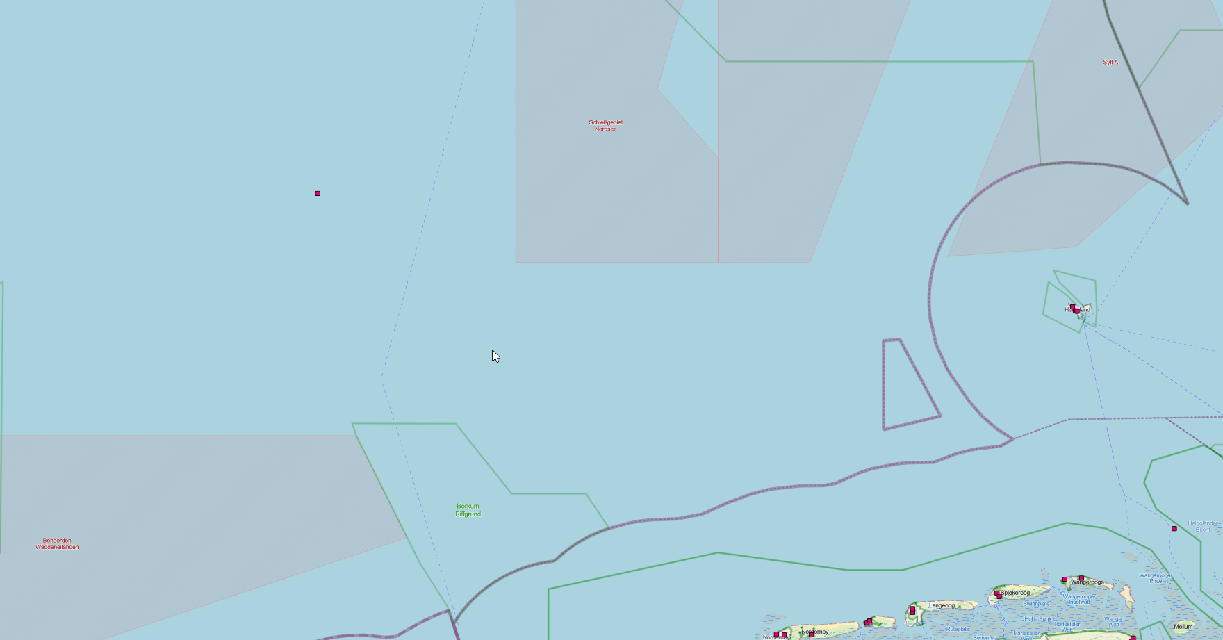
OpenStreetMap in IFS GIS Map

other tool with additional OpenSeaMap Seamarks


1 reply

Userlevel 7
Badge +30

If Esri (or anyone else publishing on the ArcGIS platform) does not provide a basemap with the extra information available in OpenSeaMap, then I think it cannot be done within GIS Map.

I suggest you ask in some Esri/ArcGIS forum if there is a way to get a basemap like that.

Reply