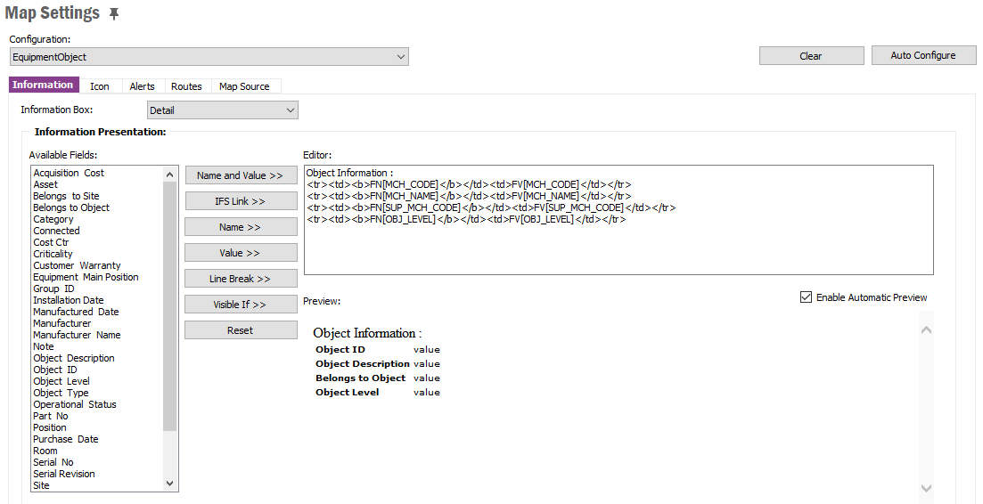
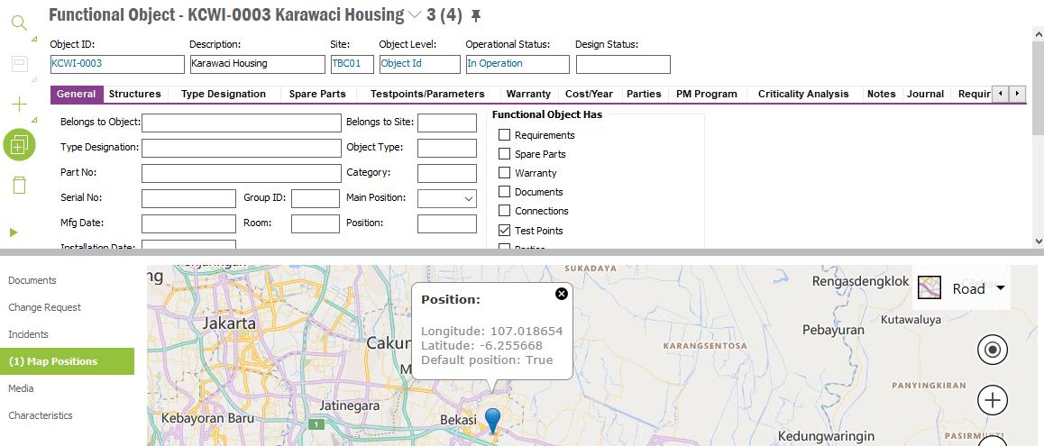
How to Show Virtual Map Settings in Added Position Object?
Hello all, I’ve done some research and i found some interesting features in Virtual Maps.
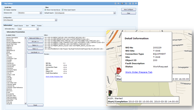
We Can Configure desired Information as image shown above just like Tableau. But i found it uneasy because i failed to show my desired information page. I’ve created my personal Information page it only Show Longitutude and Latitude Information and failed to show Large Map with error message shown below.
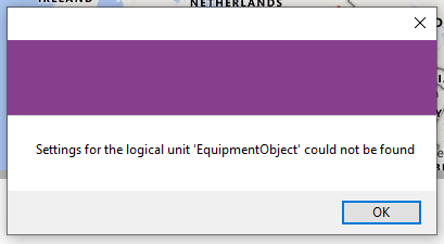
Did i miss something?
Thank You
Page 1 / 1
Did you configure the map for equipment object? Also, can you share the configuration that you tried and which did not work?
Yes, I did. but it seems that i missed something.
i Tried to show Object information as image shown above, but it didn’t come up as expected.
But it only shows Position (ex Longitude, Latitude). did i miss something? Thank you
The configuration you did only applies to that large map screen, it does not apply to the little popup in the attachment map.
is there any chance to do so?
is that possible to block some areas? for housing cluster as instance.
is there any chance to do so?
Probably, if you customize the application.
is that possible to block some areas? for housing cluster as instance.
Can you elaborate on that?
Hello,We are currently using IFS version 7.5.7 and are migrating to IFS Cloud 2023-2. We will be performing the live migration of IFS Cloud (on prem) on September 2023. We use "Tableau" as business intelligence software with IFS 7.5.7. Can we use this business intelligence software (Tableau) with IFS Cloud? In IFS cloud version, we can read data from database with rest api architecture as far as I know. At this point, I ask for your support.
I don't think this section in IFS Community is the right place for this. I don't know which place is, but Asset Management is probably not it. I hope you can find a better place to ask about this.