1/ In Allliance, what is the geocoding system used when we validate an address and define Lat/Long ?
Is it the WGS84 ?
2/ For a customer case we import service orders with address (street, zip, etc..) without Lat/Long. is it possible to use an API to add the Lat/Long for each service orders before creating service orders in Alliance. (we know the module Addres Validation, but in this case we have to validate Address before creating service orders In Alliance) Do you know customer case where a specific devlopement like that was done in the past ? or Do you know some other ways to validate address before create orders in Alliance ? even with another system/website to do this job for a file ?
Thanks and Regards
anthony
Best answer by Phil Seifert
Hi Anthony,
Answering your questions:
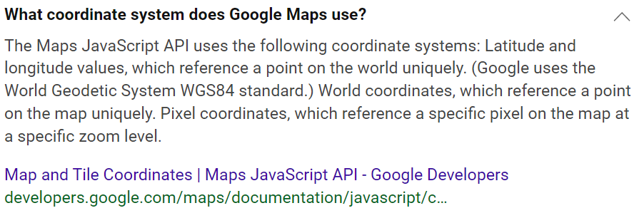
1- Yes, Alliance uses Google maps which uses WGS84. This is the system which uses decimalized values instead of degrees-minutes-seconds. Here is an excerpt I found on the Internet confirming:
2- It is possible to supply service orders via an API without geocodes attributed but you will have to write a custom API to do this. Normally, a service order uses the address_id of the site shipping address as a default but from your question it sounds like you are creating the customer/sites? If the customer/sites already exist iwth geocodes, you do not need to supply them.
You could also supply -180, 180 as the geocodes for the site shipping address or for address ID which would be linked to the demand_labor.which will then consider any address as not validated and turn off geocoding for that address. However, be aware that if you want to use DSE properly, it will need valid geocodes.
Another option is to supply the address in the API using this element in the address definition in the API:
This will allow the address import without geocodes but then when someone needs to save the record, if the geocodes are required it will try to validate at that point.
3- As you know there are 3rd party applications/systems which can validate addresses external to Alliance which does not validate again if they are supplied. I know of customers using TomTom for example but I am sure there are many others out there. Point is, if you are supplying an address via API and that address also contains geocodes already, Alliance does not try to revalidate.